
BACKGROUND
The “Tarseem” project aims to create a map linked to a database, to be distributed free of charge to private and public entities, who in turn will explore its use. Authorities today are working to create digital maps that mirror aerial imagery and are collected in a geographic database.
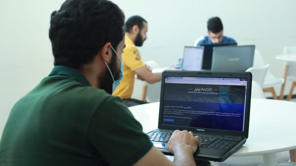
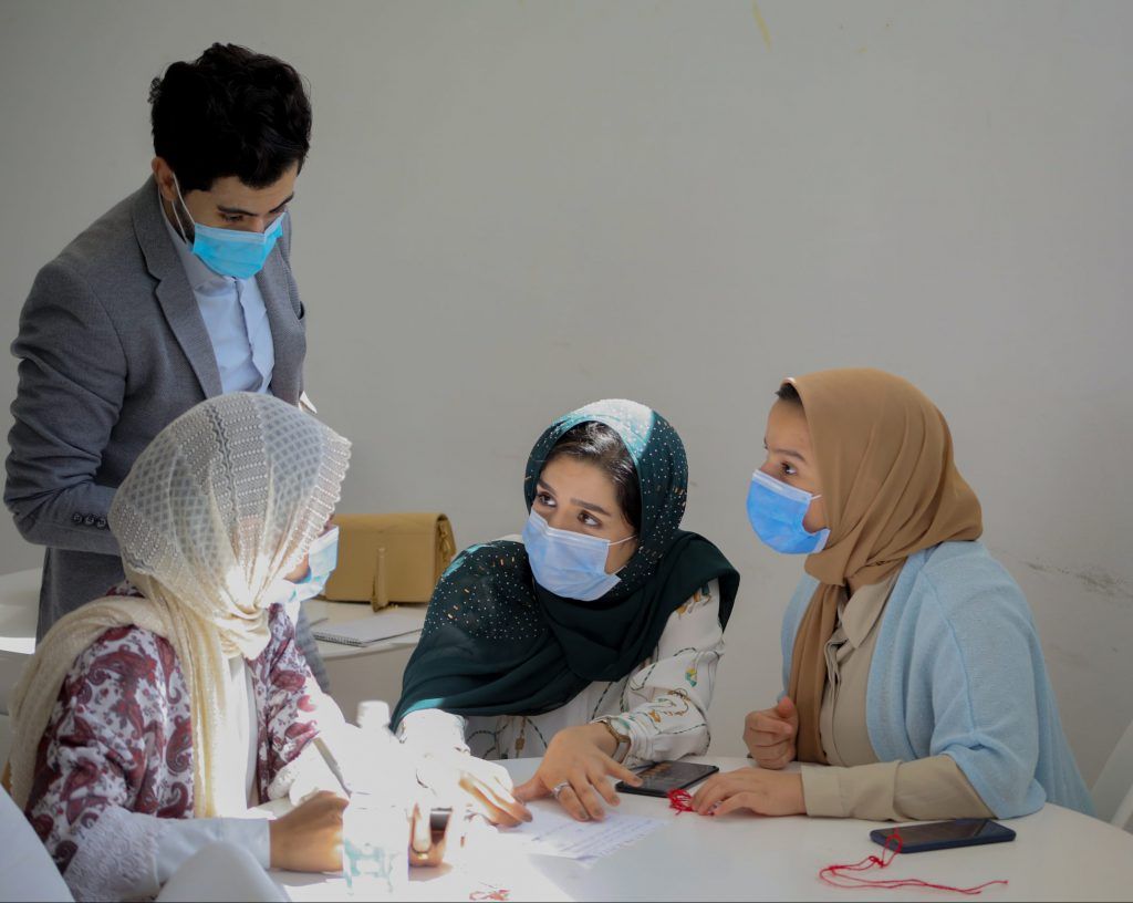
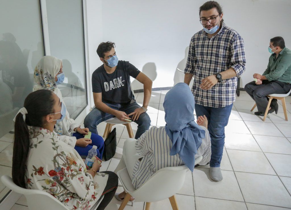
VOLUNTEERS
These maps form the infrastructure that we need to run many government and private transactions and services such as shipping parcels, mail and delivery services, electricity bills, ambulance services, civil defense, police and other important services for citizens in addition to their role in facilitating the work of government agencies in several areas, such as energy and electricity.

1 / 8